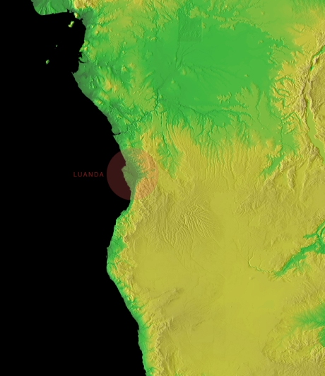
angola: topographical maps
December 14, 2008
1. from Shuttle Radar Topography Mission, maps of all of Africa — very large (100 MB+) TIFs available; I think detail is pretty decent for making a fair sized country-wide map (at page size display).


(I believe the bottom one is actually in 3d if you have 3d glasses, the blue and red eyed kind)
2. FreeGIS, a list of links to downloadable GIS information, particularly global information. Could be of use if the above is insufficient.
3. NOAA maps, several at this link (below is a clipped and lower-res version of one of them):

4. Land and ocean topography, both in raster and GIS formats.